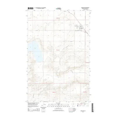
2014 Map of Geraldine
USGS Topo · Published 2014About this map
Geraldine serves as the focal point of this Chouteau County survey, situated in a landscape defined by expansive drainage systems and high-plains topography. The town's grid is detailed with specific thoroughfares like Main St and Hilger St, while the nearby Geraldine Airport and Geraldine Cem provide important local landmarks for genealogical and historical study.
Find a feature on this map
32 named features on this map. Tap any name to fly to it.
Don’t see what you’re looking for? This feature index may not catch every label — zoom into the map to look around manually.
Map Details
Editions of this 2014 Geraldine Map
This is the sole edition of this map. No revisions or reprints were ever made.
Other maps of this area
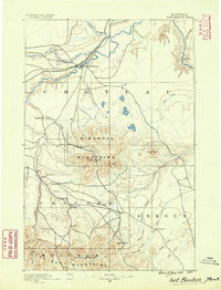
1890 · Fort Benton
USGS Topo · 1:250,000
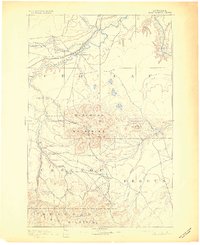
1892 · Fort Benton
USGS Topo · 1:250,000
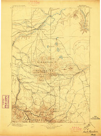
1897 · Fort Benton
USGS Topo · 1:250,000
1954 · Great Falls
USGS Topo · 1:250,000
1957 · Great Falls
USGS Topo · 1:250,000
1972 · Square Butte
USGS Topo · 1:24,000
1972 · Montague
USGS Topo · 1:24,000
1972 · Dammel Reservoir
USGS Topo · 1:24,000
1972 · Geraldine NE
USGS Topo · 1:24,000
1978 · Geraldine
USGS Topo · 1:24,000