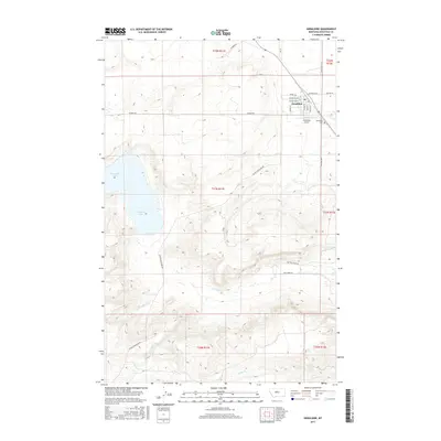
2017 Map of Geraldine
USGS Topo · Published 2017About this map
Geraldine serves as the primary hub for this Chouteau County landscape, featuring a dense grid of streets including Main St, Railroad Ave, and Broadway Ave W. The town’s infrastructure is anchored by the Geraldine Airport and the Geraldine Cem located on its eastern outskirts. Beyond the settlement, the terrain is defined by a network of local roads and intermittent water sources, such as Kingsbury Lake to the west and the various branches of Flat Cr. The road network reflects the area's transport history, with routes like the Lonetree Stage Rd and Geyser Geraldine Rd crossing the undulating plains. To the south, drainage is marked by the winding paths of Kelley Cr and Cowboy Cr, highlighting the importance of seasonal water management in this agricultural region of Montana.
Find a feature on this map
31 named features on this map. Tap any name to fly to it.
Don’t see what you’re looking for? This feature index may not catch every label — zoom into the map to look around manually.
Map Details
Editions of this 2017 Geraldine Map
This is the sole edition of this map. No revisions or reprints were ever made.
Other maps of this area
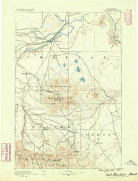
1890 · Fort Benton
USGS Topo · 1:250,000
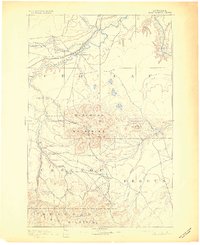
1892 · Fort Benton
USGS Topo · 1:250,000
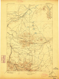
1897 · Fort Benton
USGS Topo · 1:250,000
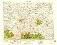
1954 · Great Falls
USGS Topo · 1:250,000
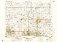
1957 · Great Falls
USGS Topo · 1:250,000
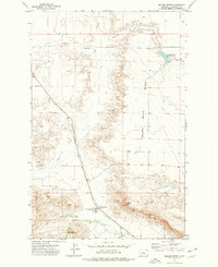
1972 · Square Butte
USGS Topo · 1:24,000
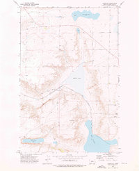
1972 · Montague
USGS Topo · 1:24,000
1972 · Dammel Reservoir
USGS Topo · 1:24,000
1972 · Geraldine NE
USGS Topo · 1:24,000
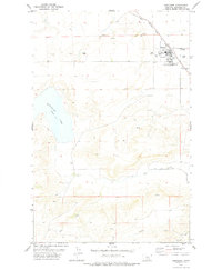
1978 · Geraldine
USGS Topo · 1:24,000