
1951 Map of Gerber
USGS Topo · Published 1951About this map
The Sacramento River defines the eastern edge of this agricultural landscape, where irrigation and transport have long shaped the valley floor. The town of Gerber serves as a central hub, organized around the Southern Pacific railroad lines. To the north, the smaller settlement of Proberta and the area of Las Flores sit amidst a grid of rural roads like Chard Ave and Thomes Ave, illustrating the mid-century expansion of local ranching and farming.
Find a feature on this map
56 named features on this map. Tap any name to fly to it.
Don’t see what you’re looking for? This feature index may not catch every label — zoom into the map to look around manually.
Map Details
Editions of this 1951 Gerber Map
This is the sole edition of this map. No revisions or reprints were ever made.
Other maps of this area

1890 · Red Bluff
USGS Topo · 1:250,000

1894 · Red Bluff
USGS Topo · 1:250,000

1904 · Vina
USGS Topo · 1:62,500

1905 · Tehama
USGS Topo · 1:62,500

1944 · Flournoy
USGS Topo · 1:62,500
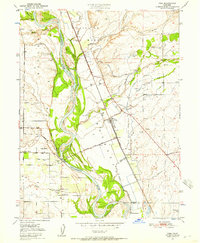
1950 · Vina
USGS Topo · 1:24,000

1950 · Gerber
USGS Topo · 1:24,000
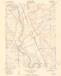
1951 · Vina
USGS Topo · 1:24,000
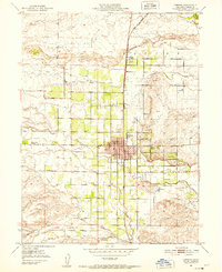
1951 · Corning
USGS Topo · 1:24,000

1951 · Red Bluff East
USGS Topo · 1:24,000