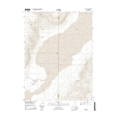
2014 Map of Gerlach
USGS Topo · Published 2014About this map
Gerlach sits at the precipice of the expansive Black Rock Desert, serving as a gateway between the arid basin and the high peaks of the Granite Range. This survey documents the intersection of local infrastructure and topographical extremes, where residential streets like Main St and Sunset Blvd give way to the rugged contours of Granite Mtn. The hydrology of the area is highlighted by Great Boiling Spring, a notable geothermal feature north of the town center. The map also delineates the jurisdictional boundary between Washoe Co and Pershing Co, which runs through the heart of the desert floor. To the southeast, the Selenite Range rises sharply, contrasting with the flat, silty expanse that characterizes this part of northern Nevada. This edition preserves the modern road network, including NV-48 and CR-447, as they navigate the transition from settlement to wilderness.
Find a feature on this map
20 named features on this map. Tap any name to fly to it.
Don’t see what you’re looking for? This feature index may not catch every label — zoom into the map to look around manually.
Map Details
Editions of this 2014 Gerlach Map
This is the sole edition of this map. No revisions or reprints were ever made.
Other maps of this area
1886 · Granite Range
USGS Topo · 1:250,000
1894 · Granite Range
USGS Topo · 1:250,000
1955 · Lovelock
USGS Topo · 1:250,000
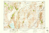
1959 · Lovelock
USGS Topo · 1:250,000
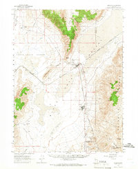
1964 · Gerlach
USGS Topo · 1:62,500
1980 · Dry Mountain NW
USGS Topo · 1:24,000
1980 · The Banjo
USGS Topo · 1:24,000
1980 · Tenmile
USGS Topo · 1:24,000
1980 · Trego
USGS Topo · 1:24,000
1980 · Hualapai Flat South
USGS Topo · 1:24,000