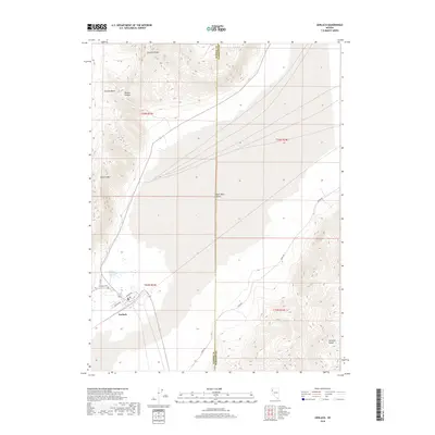
2018 Map of Gerlach
USGS Topo · Published 2018About this map
Gerlach sits at the edge of the expansive Black Rock Desert, serving as a gateway between the desert floor and the surrounding high country of the Granite Range. The landscape is dominated by extreme topographical shifts, from the thermal activity of Great Boiling Spring to the looming peaks of Granite Mtn and the northern reaches of the Selenite Range. Small-town infrastructure is captured in detail, including the local Gerlach Cem and a network of roads like Jungo Rd and Diablo Dr that push out into the arid basin. To the north, the terrain becomes deeply carved by Bowen Canyon and opens into the high-altitude Granite Basin. This survey documents the intersection of human settlement and the demanding environment of the Great Basin during the early 21st century.
Find a feature on this map
18 named features on this map. Tap any name to fly to it.
Don’t see what you’re looking for? This feature index may not catch every label — zoom into the map to look around manually.
Map Details
Editions of this 2018 Gerlach Map
This is the sole edition of this map. No revisions or reprints were ever made.
Other maps of this area
1886 · Granite Range
USGS Topo · 1:250,000
1894 · Granite Range
USGS Topo · 1:250,000
1955 · Lovelock
USGS Topo · 1:250,000
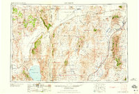
1959 · Lovelock
USGS Topo · 1:250,000
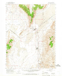
1964 · Gerlach
USGS Topo · 1:62,500
1980 · Dry Mountain NW
USGS Topo · 1:24,000
1980 · The Banjo
USGS Topo · 1:24,000
1980 · Tenmile
USGS Topo · 1:24,000
1980 · Trego
USGS Topo · 1:24,000
1980 · Hualapai Flat South
USGS Topo · 1:24,000