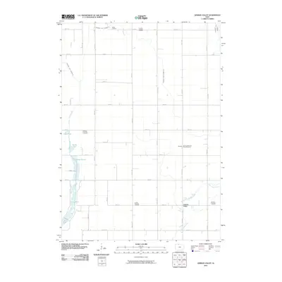
2010 Map of German Valley
USGS Topo · Published 2010About this map
German Valley and the surrounding Ramsey and German Townships define this section of Kossuth County, where the landscape is intricately managed for agriculture through a network of engineered waterways. The presence of numerous denominational and township burial grounds, including the Ramsey Reformed Church Cemetery, German Lutheran Cemetery, and Maple Cemetery, highlights the area’s settlement by immigrant farming communities.
Find a feature on this map
35 named features on this map. Tap any name to fly to it.
Don’t see what you’re looking for? This feature index may not catch every label — zoom into the map to look around manually.
Map Details
Editions of this 2010 German Valley Map
This is the sole edition of this map. No revisions or reprints were ever made.
Other maps of this area

1954 · Fairmont
USGS Topo · 1:250,000

1954 · Mason City
USGS Topo · 1:250,000

1957 · Mason City
USGS Topo · 1:250,000

1958 · Mason City
USGS Topo · 1:250,000

1958 · Fairmont
USGS Topo · 1:250,000

1972 · German Valley
USGS Topo · 1:24,000

1972 · Buffalo Center
USGS Topo · 1:24,000

1972 · Buffalo Center SW
USGS Topo · 1:24,000

1972 · Bancroft
USGS Topo · 1:24,000

1972 · Titonka
USGS Topo · 1:24,000