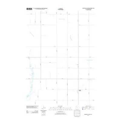
2013 Map of German Valley
USGS Topo · Published 2013About this map
German Valley and Ramsey define the rural character of this north-central Iowa landscape, where the flat topography of Kossuth County has been meticulously engineered for agriculture. The map reveals an extensive network of water management features, including Drainage Ditch Number 80 and Drainage Ditch Number 90, which channel water across the prairie. This systematic modification of the land is further evidenced by several named pools, such as Darling Pool, Gabrielson Pool, and Smith Pool, which dot the western edge of the quadrangle.
Find a feature on this map
30 named features on this map. Tap any name to fly to it.
Don’t see what you’re looking for? This feature index may not catch every label — zoom into the map to look around manually.
Map Details
Editions of this 2013 German Valley Map
This is the sole edition of this map. No revisions or reprints were ever made.
Other maps of this area

1954 · Fairmont
USGS Topo · 1:250,000

1954 · Mason City
USGS Topo · 1:250,000

1957 · Mason City
USGS Topo · 1:250,000

1958 · Mason City
USGS Topo · 1:250,000

1958 · Fairmont
USGS Topo · 1:250,000

1972 · German Valley
USGS Topo · 1:24,000

1972 · Buffalo Center
USGS Topo · 1:24,000

1972 · Buffalo Center SW
USGS Topo · 1:24,000

1972 · Bancroft
USGS Topo · 1:24,000

1972 · Titonka
USGS Topo · 1:24,000