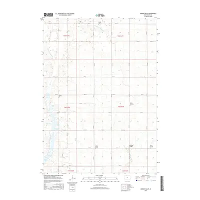
2015 Map of German Valley
USGS Topo · Published 2015About this map
German Valley serves as a quiet center for this agricultural landscape in northern Iowa, where the rectilinear road grid dictates the movement across the prairie. The map reveals a community deeply rooted in its heritage, evidenced by the numerous burial grounds and religious sites such as the Ramsey Reformed Church Cem and the German Lutheran Cem. These sites, along with the German Township West Cem and German Township East Cem, provide essential data for genealogists tracing early families of the region.
Find a feature on this map
44 named features on this map. Tap any name to fly to it.
Don’t see what you’re looking for? This feature index may not catch every label — zoom into the map to look around manually.
Map Details
Editions of this 2015 German Valley Map
This is the sole edition of this map. No revisions or reprints were ever made.
Other maps of this area

1954 · Fairmont
USGS Topo · 1:250,000

1954 · Mason City
USGS Topo · 1:250,000

1957 · Mason City
USGS Topo · 1:250,000

1958 · Mason City
USGS Topo · 1:250,000

1958 · Fairmont
USGS Topo · 1:250,000
1972 · German Valley
USGS Topo · 1:24,000
1972 · Buffalo Center
USGS Topo · 1:24,000
1972 · Buffalo Center SW
USGS Topo · 1:24,000
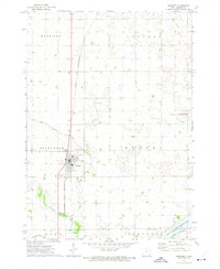
1972 · Bancroft
USGS Topo · 1:24,000
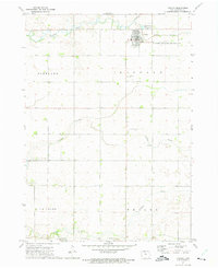
1972 · Titonka
USGS Topo · 1:24,000