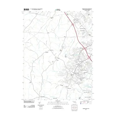
2011 Map of Germantown
USGS Topo · Published 2011About this map
Great Seneca Creek and its many tributaries, including Little Seneca Creek, define the drainage and development patterns of this northern Montgomery County landscape. In the southeast, the modern growth of Germantown is evidenced by suburban neighborhoods like Stoneridge and Kingsview Knolls, while the older core persists at Old Germantown. To the north, Clarksburg sits near the interstate corridor, surrounded by residential expansions such as Clarksburg Heights and Running Brook Acres.
Find a feature on this map
112 named features on this map. Tap any name to fly to it.
Don’t see what you’re looking for? This feature index may not catch every label — zoom into the map to look around manually.
Map Details
Editions of this 2011 Germantown Map
This is the sole edition of this map. No revisions or reprints were ever made.
Other maps of this area

1893 · Frederick
USGS Topo · 1:125,000

1894 · Frederick
USGS Topo · 1:125,000

1908 · Rockville
USGS Topo · 1:62,500

1908 · Seneca
USGS Topo · 1:62,500

1908 · Ijamsville
USGS Topo · 1:62,500

1909 · Mount Airy
USGS Topo · 1:62,500

1909 · Ijamsville
USGS Topo · 1:62,500

1923 · Rockville
USGS Topo · 1:62,500

1942 · Frederick
USGS Topo · 1:62,500

1944 · Germantown
USGS Topo · 1:31,680