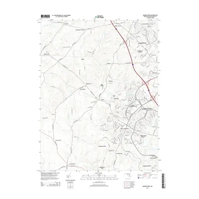
2014 Map of Germantown
USGS Topo · Published 2014About this map
Germantown and the surrounding Montgomery County landscape are depicted here during a period of significant suburban expansion and residential development. The map shows the transition from rural crossroads like Thompsons Corner and Miles Corner to established communities such as North Germantown and Clarksburg Heights. Amidst this growth, the area's agricultural and spiritual roots remain visible through sites like the Fly Away Farm Airport and several historic burial grounds, including Saint Marks Cem and the Boyds Presbyterian Cem.
Find a feature on this map
73 named features on this map. Tap any name to fly to it.
Don’t see what you’re looking for? This feature index may not catch every label — zoom into the map to look around manually.
Map Details
Editions of this 2014 Germantown Map
This is the sole edition of this map. No revisions or reprints were ever made.
Other maps of this area

1893 · Frederick
USGS Topo · 1:125,000

1894 · Frederick
USGS Topo · 1:125,000

1908 · Rockville
USGS Topo · 1:62,500

1908 · Seneca
USGS Topo · 1:62,500

1908 · Ijamsville
USGS Topo · 1:62,500

1909 · Mount Airy
USGS Topo · 1:62,500

1909 · Ijamsville
USGS Topo · 1:62,500

1923 · Rockville
USGS Topo · 1:62,500

1942 · Frederick
USGS Topo · 1:62,500

1944 · Germantown
USGS Topo · 1:31,680