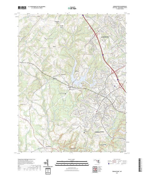
2023 Map of Germantown
USGS Topo · Published 2023About this map
Germantown and the surrounding Montgomery County landscape are defined by the convergence of growing suburban centers and preserved open spaces. The map illustrates a clear distinction between the modern residential layout of Clarksburg and the historic footprint of Old Germantown. Significant local history is preserved at sites like Blackrock Mill along the Seneca Creek Greenway Trl, while numerous small communities such as Boyds, Burdette, and Dawsonville maintain their distinct identities amidst the rolling topography of the Culpeper Basin.
Find a feature on this map
47 named features on this map. Tap any name to fly to it.
Don’t see what you’re looking for? This feature index may not catch every label — zoom into the map to look around manually.
Map Details
Editions of this 2023 Germantown Map
This is the sole edition of this map. No revisions or reprints were ever made.
Other maps of this area

1893 · Frederick
USGS Topo · 1:125,000

1894 · Frederick
USGS Topo · 1:125,000

1908 · Rockville
USGS Topo · 1:62,500

1908 · Seneca
USGS Topo · 1:62,500

1908 · Ijamsville
USGS Topo · 1:62,500

1909 · Mount Airy
USGS Topo · 1:62,500

1909 · Ijamsville
USGS Topo · 1:62,500

1923 · Rockville
USGS Topo · 1:62,500

1942 · Frederick
USGS Topo · 1:62,500

1944 · Germantown
USGS Topo · 1:31,680