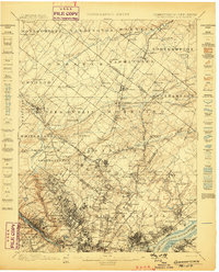
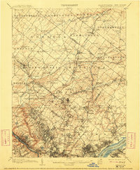
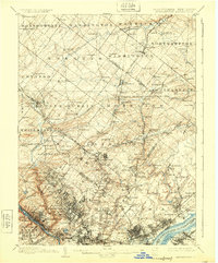
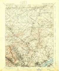
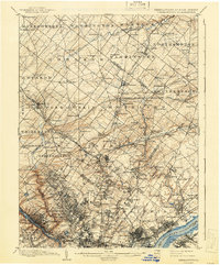
1899 Map of Germantown
USGS Topo · Published 1899About this map
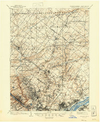
Philadelphia and its northern suburban townships are revealed in detail just before the turn of the century. The dense residential grid of Germantown gives way to a complex network of turnpikes and rail lines, including the Phila and Reading RR and the Trenton Br. Key infrastructure like the Queen Lane Reservoir and the U.S. Arsenal near the Delaware River highlight the area's industrial and municipal growth.
Find a feature on this map
191 named features on this map. Tap any name to fly to it.
Don’t see what you’re looking for? This feature index may not catch every label — zoom into the map to look around manually.
Map Details
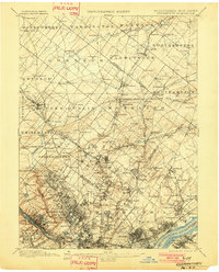
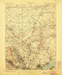
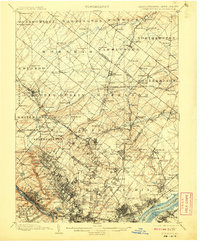
Editions of this 1899 Germantown Map
9 editions found
Other maps of this area

1888 · Mount Holly
USGS Topo · 1:62,500

1888 · Quakertown
USGS Topo · 1:62,500

1890 · Lambertville
USGS Topo · 1:62,500

1890 · Doylestown
USGS Topo · 1:62,500

1890 · Burlington
USGS Topo · 1:62,500

1890 · Quakertown
USGS Topo · 1:62,500

1891 · Lambertville
USGS Topo · 1:62,500

1891 · Doylestown
USGS Topo · 1:62,500

1891 · Philadelphia
USGS Topo · 1:62,500

1893 · Germantown
USGS Topo · 1:62,500
Featured Places
- Philadelphia, PA
- Abington Township, PA
- Cheltenham Township, PA
- Warminster Township, PA
- Horsham Township, PA