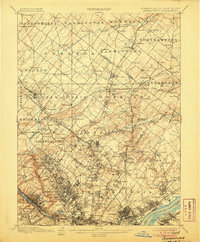
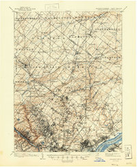
1899 Map of Germantown
USGS Topo · Published 1906About this map
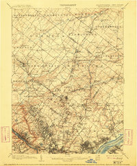
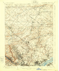
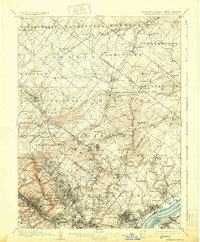
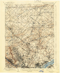
Montgomery and Philadelphia counties meet in this detailed turn-of-the-century topographic study, capturing the dense intersection of industry and expansion before the mid-century suburban boom. The landscape is defined by its complex transit networks, including the Pennsylvania RR and the Philadelphia and Reading RR, which fueled the growth of towns like Hatboro, Ambler, and Richboro. Along the Schuylkill River and Delaware River, the map records vital infrastructure such as the Queen Lane Reservoir and the U.S. Arsenal, alongside the early industrial corridors of Frankford Creek. This era reveals the transition from agrarian townships like Horsham and Warminster to a more interconnected regional hub. The presence of the Trenton Cut-Off highlights the strategic importance of this corridor for freight movement, while smaller landmarks like Davis Grove and Three Tuns provide essential waypoints for local historians and genealogists tracing early Pennsylvania roots.
Find a feature on this map
188 named features on this map. Tap any name to fly to it.
Don’t see what you’re looking for? This feature index may not catch every label — zoom into the map to look around manually.
Map Details
Editions of this 1899 Germantown Map
9 editions found
Other maps of this area

1888 · Mount Holly
USGS Topo · 1:62,500

1888 · Quakertown
USGS Topo · 1:62,500

1890 · Lambertville
USGS Topo · 1:62,500

1890 · Doylestown
USGS Topo · 1:62,500

1890 · Burlington
USGS Topo · 1:62,500

1890 · Quakertown
USGS Topo · 1:62,500

1891 · Lambertville
USGS Topo · 1:62,500

1891 · Doylestown
USGS Topo · 1:62,500

1891 · Philadelphia
USGS Topo · 1:62,500

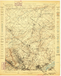
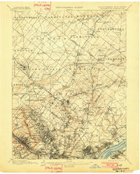
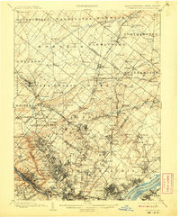
1893 · Germantown
USGS Topo · 1:62,500
Featured Places
- Philadelphia, PA
- Abington Township, PA
- Cheltenham Township, PA
- Warminster Township, PA
- Horsham Township, PA