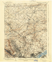
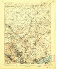
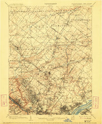
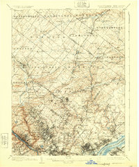
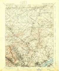
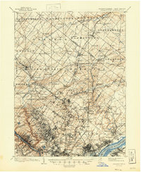
1899 Map of Germantown
USGS Topo · Published 1941About this map
Wissahickon Creek and the Schuylkill River anchor the western edge of this landscape, which captures the industrial and suburban expansion of Philadelphia into Montgomery and Bucks counties at the close of the nineteenth century. Surveyed by Frank Sutton, Robert Muldrow, and J.H. Jennings, the map documents an intricate lattice of transportation, specifically the dense network of the Phila. and Reading R. R. and Pennsylvania R. R. lines that connected burgeoning residential hubs like Chestnut Hill, Jenkintown, and Ambler.
Find a feature on this map
206 named features on this map. Tap any name to fly to it.
Don’t see what you’re looking for? This feature index may not catch every label — zoom into the map to look around manually.
Map Details
Editions of this 1899 Germantown Map
9 editions found
Other maps of this area

1888 · Mount Holly
USGS Topo · 1:62,500

1888 · Quakertown
USGS Topo · 1:62,500

1890 · Lambertville
USGS Topo · 1:62,500

1890 · Doylestown
USGS Topo · 1:62,500

1890 · Burlington
USGS Topo · 1:62,500

1890 · Quakertown
USGS Topo · 1:62,500

1891 · Lambertville
USGS Topo · 1:62,500

1891 · Doylestown
USGS Topo · 1:62,500

1891 · Philadelphia
USGS Topo · 1:62,500

1893 · Germantown
USGS Topo · 1:62,500
Featured Places
- Philadelphia, PA
- Abington Township, PA
- Cheltenham Township, PA
- Warminster Township, PA
- Horsham Township, PA