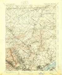
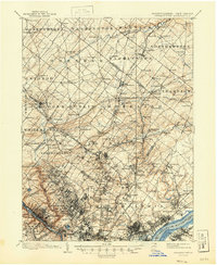
1899 Map of Germantown
USGS Topo · Published 1930About this map
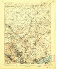
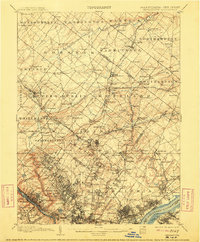
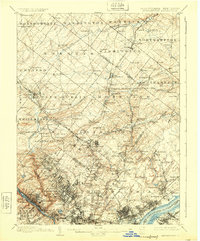
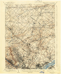
Philadelphia and its northern townships are captured in high detail at the end of the 19th century, showing a transition from dense urban street grids to the sprawling rural landscapes of Montgomery and Bucks County. The Schuylkill River and Delaware River frame the industrial and residential corridors of the era, while the Philadelphia and Reading RR and the Trenton Cut-Off illustrate the critical rail infrastructure driving growth toward outlying villages. Beyond the city limits, landmarks like Chestnut Hill and the U.S. Arsenal anchor the geography. The map reveals the intricate network of watercourses including Pennypack Creek and Wissahickon Creek that carved the terrain of Abington, Cheltenham, and Whitemarsh long before modern suburbanization filled the gaps between historic settlements like Bustleton and Huntingdon Valley.
Find a feature on this map
180 named features on this map. Tap any name to fly to it.
Don’t see what you’re looking for? This feature index may not catch every label — zoom into the map to look around manually.
Map Details
Editions of this 1899 Germantown Map
9 editions found
Other maps of this area

1888 · Mount Holly
USGS Topo · 1:62,500

1888 · Quakertown
USGS Topo · 1:62,500

1890 · Lambertville
USGS Topo · 1:62,500

1890 · Doylestown
USGS Topo · 1:62,500

1890 · Burlington
USGS Topo · 1:62,500

1890 · Quakertown
USGS Topo · 1:62,500

1891 · Lambertville
USGS Topo · 1:62,500

1891 · Doylestown
USGS Topo · 1:62,500

1891 · Philadelphia
USGS Topo · 1:62,500

1893 · Germantown
USGS Topo · 1:62,500
Featured Places
- Philadelphia, PA
- Abington Township, PA
- Cheltenham Township, PA
- Warminster Township, PA
- Horsham Township, PA