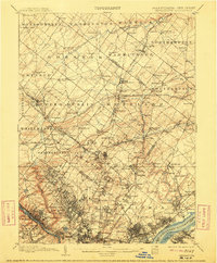
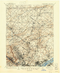
1899 Map of Germantown
USGS Topo · Published 1912About this map
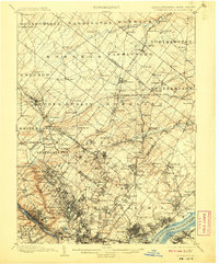
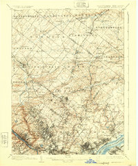
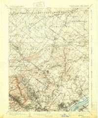
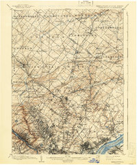
Philadelphia and its northern townships appear in high detail during a period of rapid suburban and industrial expansion. The map illustrates the dense street grids of neighborhoods like Germantown and Frankford, contrasting with the sprawling estates and agricultural lands of Montgomery County. A sophisticated transportation network is visible, dominated by the Philadelphia and Reading R.R. and the Pennsylvania R.R., which facilitated the movement of people and goods between the city and surrounding settlements like Hatboro and Ambler.
Find a feature on this map
175 named features on this map. Tap any name to fly to it.
Don’t see what you’re looking for? This feature index may not catch every label — zoom into the map to look around manually.
Map Details
Editions of this 1899 Germantown Map
9 editions found
Other maps of this area

1888 · Mount Holly
USGS Topo · 1:62,500

1888 · Quakertown
USGS Topo · 1:62,500

1890 · Lambertville
USGS Topo · 1:62,500

1890 · Doylestown
USGS Topo · 1:62,500

1890 · Burlington
USGS Topo · 1:62,500

1890 · Quakertown
USGS Topo · 1:62,500

1891 · Lambertville
USGS Topo · 1:62,500

1891 · Doylestown
USGS Topo · 1:62,500

1891 · Philadelphia
USGS Topo · 1:62,500

1893 · Germantown
USGS Topo · 1:62,500
Featured Places
- Philadelphia, PA
- Abington Township, PA
- Cheltenham Township, PA
- Warminster Township, PA
- Horsham Township, PA