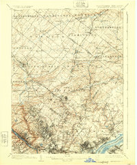
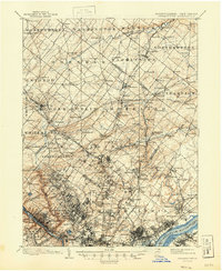
1899 Map of Germantown
USGS Topo · Published 1924About this map
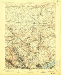
Philadelphia and its surrounding northern townships are meticulously documented in this late 19th-century survey, revealing a landscape defined by industrial expansion and established agricultural communities. The dense urban grid gives way to early suburban nodes like Hatboro and Ambler, while the Schuylkill River and Delaware River frame the region's commercial vitality. Vital infrastructure including the Trenton Cut-off and the Phila. and Reading R. R. underscores the area's role as a major transportation hub connecting Pennsylvania and New Jersey.
Find a feature on this map
187 named features on this map. Tap any name to fly to it.
Don’t see what you’re looking for? This feature index may not catch every label — zoom into the map to look around manually.
Map Details
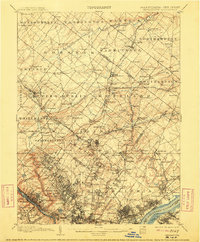
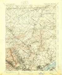
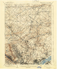
Editions of this 1899 Germantown Map
9 editions found
Other maps of this area

1888 · Mount Holly
USGS Topo · 1:62,500

1888 · Quakertown
USGS Topo · 1:62,500

1890 · Lambertville
USGS Topo · 1:62,500

1890 · Doylestown
USGS Topo · 1:62,500

1890 · Burlington
USGS Topo · 1:62,500

1890 · Quakertown
USGS Topo · 1:62,500

1891 · Lambertville
USGS Topo · 1:62,500

1891 · Doylestown
USGS Topo · 1:62,500

1891 · Philadelphia
USGS Topo · 1:62,500

1893 · Germantown
USGS Topo · 1:62,500
Featured Places
- Philadelphia, PA
- Abington Township, PA
- Cheltenham Township, PA
- Warminster Township, PA
- Horsham Township, PA