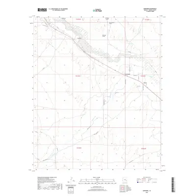
2018 Map of Geronimo
USGS Topo · Published 2018About this map
The Gila River winds through the heart of the Gila Valley, defining the geographic and economic character of this Graham County landscape. In this 2018 survey, the small settlements of Geronimo and Emery serve as primary points of interest for local historians, situated along a transportation corridor that follows the river's northern bank. The topography transitions from the alluvial floor to the complex drainage systems of the north, including McKinney Canyon and Dutch Pasture Canyon. Genealogists can identify specific family-named sites such as Hinton Cem and Emery Cem, which anchor the historical record of these communities. To the south, the expansive drainage of Goodwin Wash cuts through the terrain, while the prominent landmark of Black Point provides a clear navigational reference in the western portion of the quadrangle.
Find a feature on this map
32 named features on this map. Tap any name to fly to it.
Don’t see what you’re looking for? This feature index may not catch every label — zoom into the map to look around manually.
Map Details
Editions of this 2018 Geronimo Map
This is the sole edition of this map. No revisions or reprints were ever made.
Other maps of this area
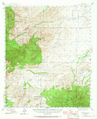
1944 · Jackson Mtn.
USGS Topo · 1:62,500
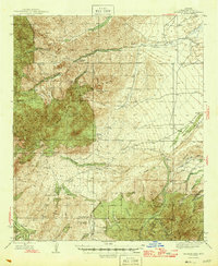
1946 · Jackson Mtn.
USGS Topo · 1:62,500

1954 · Silver City
USGS Topo · 1:250,000

1954 · Clifton
USGS Topo · 1:250,000
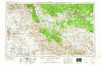
1954 · Mesa
USGS Topo · 1:250,000

1956 · Tucson
USGS Topo · 1:250,000
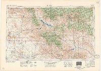
1957 · Mesa
USGS Topo · 1:250,000

1957 · Clifton
USGS Topo · 1:250,000
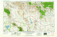
1958 · Silver City
USGS Topo · 1:250,000

1958 · Clifton
USGS Topo · 1:250,000