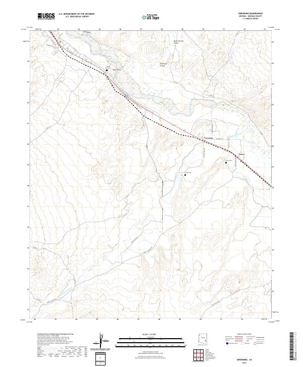
2021 Map of Geronimo
USGS Topo · Published 2021About this map
The Gila River winds through this desert valley, anchoring a landscape where small settlements like Geronimo and Emery sit along the corridor of the Gila Valley. The area is marked by significant genealogical landmarks, including the Black Point Cem situated near the prominent basaltic rise of Black Point, and the Hinton Cem and Emery Cem further south. These sites point to a long-established presence in this part of Graham County, where the interaction between the seasonal flows of Goodwin Wash and the main river channel dictates the layout of local ranch roads.
Find a feature on this map
33 named features on this map. Tap any name to fly to it.
Don’t see what you’re looking for? This feature index may not catch every label — zoom into the map to look around manually.
Map Details
Editions of this 2021 Geronimo Map
This is the sole edition of this map. No revisions or reprints were ever made.
Other maps of this area

1944 · Jackson Mtn.
USGS Topo · 1:62,500

1946 · Jackson Mtn.
USGS Topo · 1:62,500

1954 · Silver City
USGS Topo · 1:250,000

1954 · Clifton
USGS Topo · 1:250,000

1954 · Mesa
USGS Topo · 1:250,000

1956 · Tucson
USGS Topo · 1:250,000

1957 · Mesa
USGS Topo · 1:250,000

1957 · Clifton
USGS Topo · 1:250,000

1958 · Silver City
USGS Topo · 1:250,000

1958 · Clifton
USGS Topo · 1:250,000