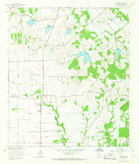
1964 Map of Geronimo
USGS Topo · Published 1966About this map
Geronimo and the small settlements of Galle and Lauback define this rural landscape in central Texas during the mid-1960s. The area is characterized by a network of creeks, including York Creek, Alligator Creek, and Geronimo Creek, which are supported by several controlled inundation areas marked by spillways at varying elevations. This water management system indicates the agricultural and flood-control priorities of the era.
Find a feature on this map
35 named features on this map. Tap any name to fly to it.
Don’t see what you’re looking for? This feature index may not catch every label — zoom into the map to look around manually.
Map Details
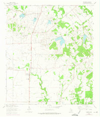
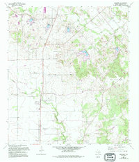
Editions of this 1964 Geronimo Map
3 editions found
Other maps of this area

1911 · San Marcos
USGS Topo · 1:125,000

1919 · San Marcos
USGS Topo · 1:125,000

1924 · New Braunfels No 4
USGS Topo · 1:48,000

1924 · San Marcos 3-c
USGS Topo · 1:48,000

1924 · San Marcos 3-d
USGS Topo · 1:48,000

1925 · New Braunfels No 1
USGS Topo · 1:48,000

1927 · New Braunfels
USGS Topo · 1:62,500

1929 · Hunter
USGS Topo · 1:62,500

1930 · Seguin
USGS Topo · 1:62,500

1953 · Seguin
USGS Topo · 1:250,000