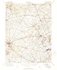
1951 Map of Gettysburg
USGS Topo · Published 1954About this map
Gettysburg stands as the focal point of this mid-century Pennsylvania survey, revealing the landscape of Adams and York Counties just after the second World War. The map meticulously documents the terrain of the famed battlefield, including tactical high points like Little Round Top, Culp Hill, and the rocky Devil Den. Beyond the borough, the landscape is defined by a dense network of rural schoolhouses and religious landmarks, such as Conewago Chapel and Rock Chapel, which speak to the deep-rooted community structure of Mount Pleasant and Straban townships.
Find a feature on this map
147 named features on this map. Tap any name to fly to it.
Don’t see what you’re looking for? This feature index may not catch every label — zoom into the map to look around manually.
Map Details
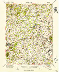
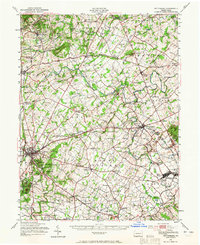
Editions of this 1951 Gettysburg Map
3 editions found
Other maps of this area

1904 · Carlisle
USGS Topo · 1:62,500

1905 · Westminster
USGS Topo · 1:62,500

1906 · New Cumberland
USGS Topo · 1:62,500

1908 · Gettysburg
USGS Topo · 1:62,500

1909 · Fairfield
USGS Topo · 1:62,500

1911 · Taneytown
USGS Topo · 1:62,500

1911 · Emmitsburg
USGS Topo · 1:62,500

1919 · Newville
USGS Topo · 1:62,500

1920 · Hanover
USGS Topo · 1:62,500

1922 · Hanover
USGS Topo · 1:62,500