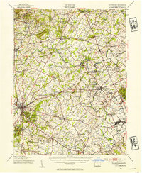
1951 Map of Gettysburg
USGS Topo · Published 1954About this map
Gettysburg sits at the heart of this mid-century landscape, surrounded by the significant terrain of the 1863 battleground. The map detail extends south to Round Top and Cemetery Hill, while also documenting the growth of the surrounding Adams County agricultural and industrial corridor. The Western Maryland railroad line serves as a central artery, connecting hubs like New Oxford and Bendersville Sta, reflecting the rail-dependent economy of the 1950s.
Find a feature on this map
138 named features on this map. Tap any name to fly to it.
Don’t see what you’re looking for? This feature index may not catch every label — zoom into the map to look around manually.
Map Details
Editions of this 1951 Gettysburg Map
3 editions found
Other maps of this area

1904 · Carlisle
USGS Topo · 1:62,500

1905 · Westminster
USGS Topo · 1:62,500

1906 · New Cumberland
USGS Topo · 1:62,500

1908 · Gettysburg
USGS Topo · 1:62,500

1909 · Fairfield
USGS Topo · 1:62,500

1911 · Taneytown
USGS Topo · 1:62,500

1911 · Emmitsburg
USGS Topo · 1:62,500

1919 · Newville
USGS Topo · 1:62,500

1920 · Hanover
USGS Topo · 1:62,500

1922 · Hanover
USGS Topo · 1:62,500