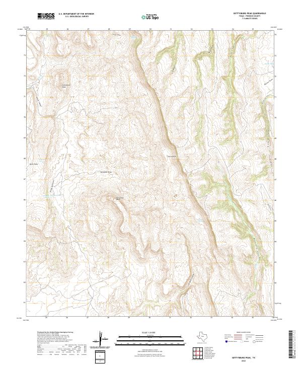
2022 Map of Gettysburg Peak
USGS Topo · Published 2022About this map
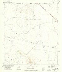
Gettysburg Peak rises as a prominent landmark in this West Texas landscape, defined by the sharp escarpments of the Sierra Vieja. The terrain is characterized by a complex drainage system where Walker Cr and Quinn Cr carve through numerous canyons such as Soldier Canyon and Musgrave Canyon. This high-desert environment shows a reliance on scarce water sources, evidenced by the location of Maurita Spring, Newman Springs, and the Coal Mine Spring, the latter suggesting historical resource extraction in an otherwise remote livestock-grazing region. Flat-topped features like Quinn Mesa and Horseshoe Mesa provide distinctive topographical breaks above deep draws like Horseshoe Draw and Walnut Draw. Human activity is sparse, concentrated primarily along the Chillicote Ranch Rd which serves the isolated ranching operations of Presidio County.
Find a feature on this map
27 named features on this map. Tap any name to fly to it.
Don’t see what you’re looking for? This feature index may not catch every label — zoom into the map to look around manually.
Map Details
Editions of this 2022 Gettysburg Peak Map
This is the sole edition of this map. No revisions or reprints were ever made.
Other maps of this area

1892 · Chispa
USGS Topo · 1:125,000

1895 · Chispa
USGS Topo · 1:125,000

1896 · San Carlos
USGS Topo · 1:125,000

1897 · Chispa
USGS Topo · 1:125,000

1959 · Marfa
USGS Topo · 1:250,000

1965 · Marfa
USGS Topo · 1:250,000
1972 · Soldier Spring
USGS Topo · 1:24,000
1978 · Gettysburg Peak
USGS Topo · 1:24,000
1978 · Vieja Pass
USGS Topo · 1:24,000
1978 · Valentine West
USGS Topo · 1:24,000