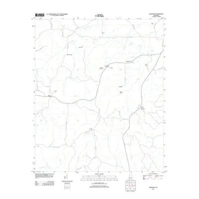
2012 Map of Gholson
USGS Topo · Published 2012About this map
Gholson stands at the western edge of this landscape, where the local road network connects small rural communities and family cemeteries in the Mississippi countryside. The area is defined by a series of distinct high points, including Hit Mountain, Potters Ridge, and Gholson Mountain, which rise above the complex network of creeks such as Nails Cr and Running Water Cr. Numerous family and community burial grounds, including the Van Devender Cem and Pine Turkey Cem, are tucked away along routes like Pinetucky Rd and Cotton Cemetery Rd, providing a detailed record of the local genealogy. The presence of Poorhouse Mountain and the adjacent Poorhouse Cem suggests a history of community care and social services in this part of Noxubee County. Settled points like Clearman and Fairhill are linked by winding roads that follow the drainage patterns of the Wahalak Cr and Sand Cr basins.
Find a feature on this map
56 named features on this map. Tap any name to fly to it.
Don’t see what you’re looking for? This feature index may not catch every label — zoom into the map to look around manually.
Map Details
Editions of this 2012 Gholson Map
This is the sole edition of this map. No revisions or reprints were ever made.
Other maps of this area

1953 · Meridian
USGS Topo · 1:250,000

1953 · West Point
USGS Topo · 1:250,000

1957 · Meridian
USGS Topo · 1:250,000

1958 · West Point
USGS Topo · 1:250,000

1962 · Lynville
USGS Topo · 1:24,000

1962 · Preston
USGS Topo · 1:24,000

1962 · Shuqualak
USGS Topo · 1:24,000

1963 · West Point
USGS Topo · 1:250,000

1963 · De Kalb
USGS Topo · 1:24,000

1963 · Townsend
USGS Topo · 1:24,000