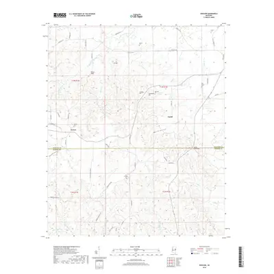
2018 Map of Gholson
USGS Topo · Published 2018About this map
The community of Gholson and the settlement at Fairhill sit along the border of Noxubee and Kemper counties in eastern Mississippi. This rural landscape is defined by its numerous family and community burial sites, such as Calhoun Cem, Cotton Cem, and Van Devender Cem, which provide significant anchor points for local genealogical research. The terrain transitions from the heights of Potters Ridge and Hit Mtn in the north toward the distinct peaks of Gholson Mtn and Poorhouse Mtn in the center.
Find a feature on this map
56 named features on this map. Tap any name to fly to it.
Don’t see what you’re looking for? This feature index may not catch every label — zoom into the map to look around manually.
Map Details
Editions of this 2018 Gholson Map
This is the sole edition of this map. No revisions or reprints were ever made.
Other maps of this area
1953 · Meridian
USGS Topo · 1:250,000
1953 · West Point
USGS Topo · 1:250,000
1957 · Meridian
USGS Topo · 1:250,000
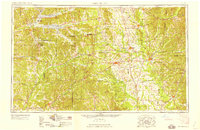
1958 · West Point
USGS Topo · 1:250,000
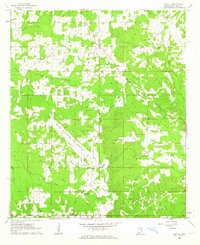
1962 · Lynville
USGS Topo · 1:24,000
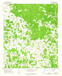
1962 · Preston
USGS Topo · 1:24,000
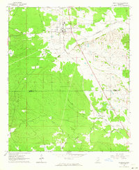
1962 · Shuqualak
USGS Topo · 1:24,000
1963 · West Point
USGS Topo · 1:250,000
1963 · De Kalb
USGS Topo · 1:24,000
1963 · Townsend
USGS Topo · 1:24,000