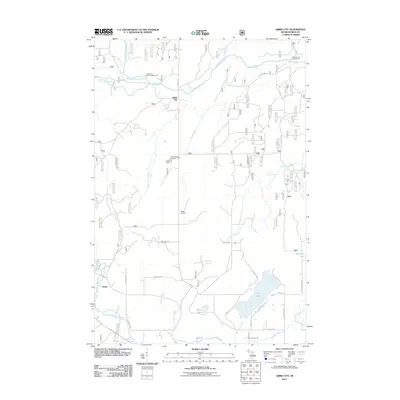
2011 Map of Gibbs City
USGS Topo · Published 2011About this map
Gibbs City sits at the confluence where the North Branch Paint River meets the main Paint River, serving as a central point in this Iron County landscape. The area is defined by its complex network of waterways, including the North Branch Iron River and South Branch Iron River near the settlement of Hazel. The presence of Gibbs Lookout and the Camp Gibbs Recreation Area indicates a terrain focused on forestry management and outdoor activity. Local travel is facilitated by a grid of named routes like Amvets Hwy and Gibbs City Rd, connecting small lakeside developments at Iron Lake and Webb Lake. This 2011 survey documents the persistent rural character of Bates Township, where numerous campgrounds like Black House Campground and Paint River Forks Campground line the riverbanks.
Find a feature on this map
42 named features on this map. Tap any name to fly to it.
Don’t see what you’re looking for? This feature index may not catch every label — zoom into the map to look around manually.
Map Details
Editions of this 2011 Gibbs City Map
This is the sole edition of this map. No revisions or reprints were ever made.
Other maps of this area

1895 · Perch Lake
USGS Topo · 1:62,500

1898 · Iron River
USGS Topo · 1:62,500

1944 · Iron River
USGS Topo · 1:24,000

1944 · Gaastra
USGS Topo · 1:24,000

1945 · Gibbs City
USGS Topo · 1:24,000

1945 · Sunset Lake
USGS Topo · 1:24,000

1946 · Iron River
USGS Topo · 1:31,680

1946 · Sunset Lake
USGS Topo · 1:31,680

1946 · Gaastra
USGS Topo · 1:31,680

1946 · Gibbs City
USGS Topo · 1:31,680