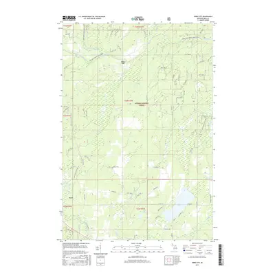
2017 Map of Gibbs City
USGS Topo · Published 2017About this map
The timberlands and waterways of the Ottawa National Forest define this 2017 survey of Iron County. The settlement of Gibbs City sits centrally, positioned near where McColman Cr and Edna Cr drain into the wider hydrographic network. The landscape is dominated by the complex flow of the Paint River to the north, including the Canoe-South Branch Paint River and Canoe-North Branch Paint River, which suggest the area's legacy as a destination for waterway navigation. Further south, the map details several significant water bodies including Iron Lake, Webb Lake, and Morrison Lake. Industrial and recreational access is highlighted by the Iron Co Orv & Snowmobile Trl and various Forest Service roads, while the southern settlement of Hazel anchors the map near the Iron River.
Find a feature on this map
80 named features on this map. Tap any name to fly to it.
Don’t see what you’re looking for? This feature index may not catch every label — zoom into the map to look around manually.
Map Details
Editions of this 2017 Gibbs City Map
This is the sole edition of this map. No revisions or reprints were ever made.
Other maps of this area

1895 · Perch Lake
USGS Topo · 1:62,500

1898 · Iron River
USGS Topo · 1:62,500

1944 · Iron River
USGS Topo · 1:24,000

1944 · Gaastra
USGS Topo · 1:24,000

1945 · Gibbs City
USGS Topo · 1:24,000

1945 · Sunset Lake
USGS Topo · 1:24,000

1946 · Iron River
USGS Topo · 1:31,680

1946 · Sunset Lake
USGS Topo · 1:31,680

1946 · Gaastra
USGS Topo · 1:31,680

1946 · Gibbs City
USGS Topo · 1:31,680