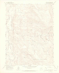
1963 Map of Gibson Gulch
USGS Topo · Published 1967About this map
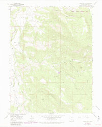
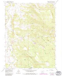
Fairview Cem sits on the western edge of this Colorado landscape, marking a point of rest in a region defined by high ridges and deep drainage systems. The terrain is dominated by the complex network of East Divide Creek and West Divide Creek, which carve out the high-country topography before reaching the southern boundaries of the White River National Forest. The presence of several named springs, most notably the family-named Uncle Bob Spring, indicates the vital importance of water sources for cattle and land management in this high-altitude environment.
Find a feature on this map
25 named features on this map. Tap any name to fly to it.
Don’t see what you’re looking for? This feature index may not catch every label — zoom into the map to look around manually.
Map Details
Editions of this 1963 Gibson Gulch Map
6 editions found
Other maps of this area

1906 · Grand Hogback
USGS Topo · 1:125,000

1910 · Grand Hogback
USGS Topo · 1:125,000

1927 · Glenwood Springs
USGS Topo · 1:125,000

1930 · Glenwood Springs
USGS Topo · 1:125,000

1957 · Leadville
USGS Topo · 1:250,000

1959 · Leadville
USGS Topo · 1:250,000

1960 · Leadville
USGS Topo · 1:250,000

1962 · Leadville
USGS Topo · 1:250,000

1962 · New Castle
USGS Topo · 1:24,000

1962 · Storm King Mountain
USGS Topo · 1:24,000