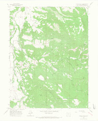
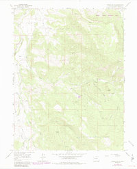
1963 Map of Gibson Gulch
USGS Topo · Published 1967About this map
The high drainage basins of West Divide Creek and East Divide Creek dominate this Garfield County landscape, as documented by the U.S. Geological Survey in the early 1960s. These parallel waterways and their numerous tributaries, including Gibson Gulch and Alkali Creek, define the complex topography of the White River National Forest boundary. The area's mid-century character is shaped by a mix of natural resource extraction and early settlement patterns, evidenced by a Gas Well near the southern margin and the Fairview Cem located on a ridge between the creek forks.
Find a feature on this map
27 named features on this map. Tap any name to fly to it.
Don’t see what you’re looking for? This feature index may not catch every label — zoom into the map to look around manually.
Map Details
Editions of this 1963 Gibson Gulch Map
6 editions found
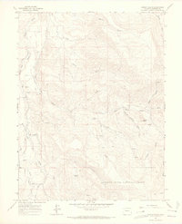
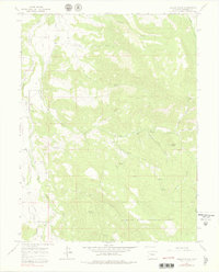
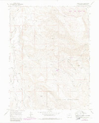
Other maps of this area

1906 · Grand Hogback
USGS Topo · 1:125,000

1910 · Grand Hogback
USGS Topo · 1:125,000

1927 · Glenwood Springs
USGS Topo · 1:125,000

1930 · Glenwood Springs
USGS Topo · 1:125,000

1957 · Leadville
USGS Topo · 1:250,000

1959 · Leadville
USGS Topo · 1:250,000

1960 · Leadville
USGS Topo · 1:250,000

1962 · Leadville
USGS Topo · 1:250,000

1962 · New Castle
USGS Topo · 1:24,000

1962 · Storm King Mountain
USGS Topo · 1:24,000