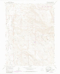
1963 Map of Gibson Gulch
USGS Topo · Published 1984About this map
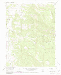
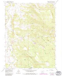
Fairview Cem sits on a high divide above West Divide Creek, overlooking a landscape defined by complex water management and high Colorado terrain. This 1963 survey, updated in the early 1980s, documents the intricate network of alpine irrigation such as Porter Ditch and Mina Ditch that diverted mountain runoff for lower elevation needs. The topography is anchored by Crown Peak and transitions into the White River National Forest to the south. Land use in this era is further evidenced by a scattered presence of energy infrastructure, including a Drill Hole and Gas Well, and the seasonal importance of water sources like Uncle Bob Spring and Corral Creek. To the northeast, the Castle State Wildlife Area encompasses the rugged drainage of Jackson Gulch, while a lone Jeep Trail provides the primary passage through the central high country.
Find a feature on this map
28 named features on this map. Tap any name to fly to it.
Don’t see what you’re looking for? This feature index may not catch every label — zoom into the map to look around manually.
Map Details
Editions of this 1963 Gibson Gulch Map
6 editions found
Other maps of this area

1906 · Grand Hogback
USGS Topo · 1:125,000

1910 · Grand Hogback
USGS Topo · 1:125,000

1927 · Glenwood Springs
USGS Topo · 1:125,000

1930 · Glenwood Springs
USGS Topo · 1:125,000

1957 · Leadville
USGS Topo · 1:250,000

1959 · Leadville
USGS Topo · 1:250,000

1960 · Leadville
USGS Topo · 1:250,000

1962 · Leadville
USGS Topo · 1:250,000

1962 · New Castle
USGS Topo · 1:24,000

1962 · Storm King Mountain
USGS Topo · 1:24,000