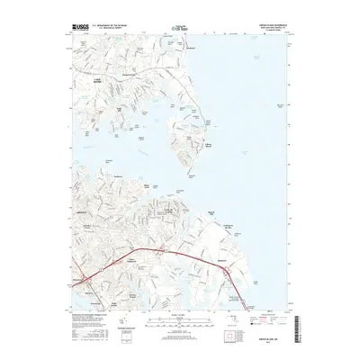
2017 Map of Gibson Island
USGS Topo · Published 2017About this map
Gibson Island and the surrounding Chesapeake shoreline are defined by a complex network of coves and inlets where the Magothy River meets the bay. The map documents the residential and recreational development of the late 20th and early 21st centuries, from the exclusive enclaves of the island to the established neighborhoods of Arnold and Cape St. Claire. Inland, the landscape is dotted with several significant burial grounds, including Cedarwood Cove Cem and Saint Margarets Episcopal Church Cem, reflecting the deep-rooted local history of the Broad Neck peninsula. Transportation is dominated by the corridor of Highway 50 leading toward the William Preston Lane Junior Memorial Bridge, which serves as a vital link across the bay. Smaller landmarks like Mountain Road Airport and the community of Skidmore appear alongside numerous named bogs and points, such as Fresh Pond Bog and Podickory Point, indicating the environmentally sensitive nature of this coastal region.
Find a feature on this map
107 named features on this map. Tap any name to fly to it.
Don’t see what you’re looking for? This feature index may not catch every label — zoom into the map to look around manually.
Map Details
Editions of this 2017 Gibson Island Map
This is the sole edition of this map. No revisions or reprints were ever made.
Other maps of this area

1892 · Owensville
USGS Topo · 1:62,500

1892 · Annapolis
USGS Topo · 1:62,500

1893 · North Point
USGS Topo · 1:62,500

1894 · Relay
USGS Topo · 1:62,500

1895 · Owensville
USGS Topo · 1:62,500

1898 · Choptank
USGS Topo · 1:125,000

1898 · Tolchester
USGS Topo · 1:125,000

1899 · Patuxent
USGS Topo · 1:125,000

1903 · Tolchester
USGS Topo · 1:125,000

1904 · North Point
USGS Topo · 1:62,500