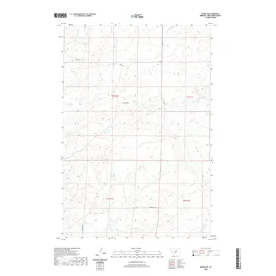
2020 Map of Gibson SW
USGS Topo · Published 2020About this map
The Cayuse Hills define this high-plains landscape in Sweet Grass County, where the terrain is marked by a complex network of seasonal drainages and cattle country infrastructure. Sparse but vital transportation routes like Cremer Rd and Sourdough Rd follow the natural contours of the land, connecting remote ranchlands and rangelands. The hydrology of the region is characterized by small, winding waterways such as Antelope Cr, Simmons Cr, and Sourdough Cr, which cut through the undulating hills. This 2020 survey by the U.S. Geological Survey provides a clear view of the rural section lines and township boundaries, including t4n r16e and t4n r17e, illustrating how modern property divisions continue to adhere to the historic Public Land Survey System in this part of Montana.
Find a feature on this map
12 named features on this map. Tap any name to fly to it.
Don’t see what you’re looking for? This feature index may not catch every label — zoom into the map to look around manually.
Map Details
Editions of this 2020 Gibson SW Map
This is the sole edition of this map. No revisions or reprints were ever made.
Other maps of this area

1889 · Big Snowy Mountain
USGS Topo · 1:250,000

1891 · Big Timber
USGS Topo · 1:125,000

1893 · Big Snowy Mountain
USGS Topo · 1:250,000

1893 · Big Timber
USGS Topo · 1:125,000
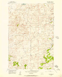
1954 · Ryan Creek
USGS Topo · 1:24,000

1954 · Billings
USGS Topo · 1:250,000

1954 · Roundup
USGS Topo · 1:250,000

1957 · Billings
USGS Topo · 1:250,000
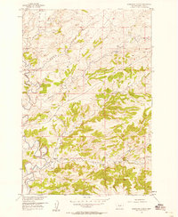
1957 · Sourdough School
USGS Topo · 1:24,000
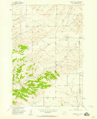
1957 · Stephens Hill NE
USGS Topo · 1:24,000