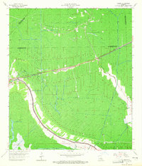
1964 Map of Gibson
USGS Topo · Published 1965About this map
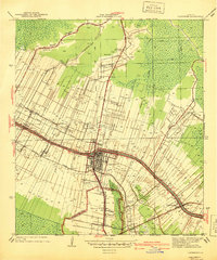
Bayou Black winds through the heart of this coastal Louisiana landscape, defining the settlement patterns of Gibson and Oak Forest in the mid-1960s. The region is a complex network of natural waterways and industrial interventions, where the Southern Pacific railroad cuts through the lowlands connecting Donner and Chacahoula. Local community life is anchored by landmarks such as Rose Hill Ch, Gibson Ch, and Beulah Ch, while the surrounding terrain reflects the era's intensive resource extraction.
Find a feature on this map
25 named features on this map. Tap any name to fly to it.
Don’t see what you’re looking for? This feature index may not catch every label — zoom into the map to look around manually.
Map Details
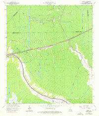
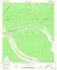
Editions of this 1964 Gibson Map
3 editions found
Other maps of this area

1892 · Gibson
USGS Topo · 1:62,500

1892 · Thibodaux
USGS Topo · 1:62,500

1897 · Gibson
USGS Topo · 1:62,500

1932 · Thibodaux SE
USGS Topo · 1:31,680

1932 · Thibodaux SW
USGS Topo · 1:31,680

1935 · Morgan City
USGS Topo · 1:62,500

1938 · Labadieville
USGS Topo · 1:24,000
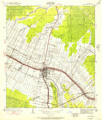
1938 · Lafourche
USGS Topo · 1:24,000

1939 · Gibson
USGS Topo · 1:62,500
1940 · Lafourche
USGS Topo · 1:31,680