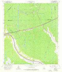
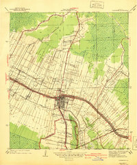
1964 Map of Gibson
USGS Topo · Published 1976About this map
The low-lying wetlands of Terrebonne Parish are defined here by a dense network of watercourses and industrial extraction during the mid-1960s. Settlements such as Gibson and Donner are tied closely to the Southern Pacific railroad line, which cuts a straight path across the swampy terrain. The landscape is heavily engineered for both drainage and resource wealth, evidenced by the Donner Canal and the expansive Chacahoula Oil and Gas Field.
Find a feature on this map
30 named features on this map. Tap any name to fly to it.
Don’t see what you’re looking for? This feature index may not catch every label — zoom into the map to look around manually.
Map Details
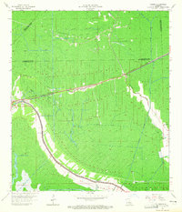
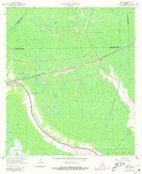
Editions of this 1964 Gibson Map
3 editions found
Other maps of this area

1892 · Gibson
USGS Topo · 1:62,500

1892 · Thibodaux
USGS Topo · 1:62,500

1897 · Gibson
USGS Topo · 1:62,500

1932 · Thibodaux SE
USGS Topo · 1:31,680

1932 · Thibodaux SW
USGS Topo · 1:31,680

1935 · Morgan City
USGS Topo · 1:62,500

1938 · Labadieville
USGS Topo · 1:24,000
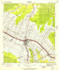
1938 · Lafourche
USGS Topo · 1:24,000

1939 · Gibson
USGS Topo · 1:62,500
1940 · Lafourche
USGS Topo · 1:31,680