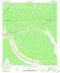
1964 Map of Gibson
USGS Topo · Published 1981About this map
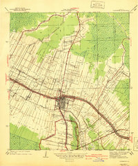
Bayou Black winds through the low-lying wetlands of southern Louisiana, serving as a primary corridor for settlement and industry in this 1960s survey. The landscape is defined by the convergence of natural waterways like Tiger Bayou and Chacahoula Bayou with an extensive network of man-made infrastructure, including the Shell Canal and Drainage Canal. Human activity is concentrated along the ridges and levees, where the Southern Pacific railroad connects the communities of Gibson, Donner, and Chacahoula.
Find a feature on this map
30 named features on this map. Tap any name to fly to it.
Don’t see what you’re looking for? This feature index may not catch every label — zoom into the map to look around manually.
Map Details
Editions of this 1964 Gibson Map
3 editions found
Other maps of this area

1892 · Gibson
USGS Topo · 1:62,500

1892 · Thibodaux
USGS Topo · 1:62,500

1897 · Gibson
USGS Topo · 1:62,500

1932 · Thibodaux SE
USGS Topo · 1:31,680

1932 · Thibodaux SW
USGS Topo · 1:31,680

1935 · Morgan City
USGS Topo · 1:62,500

1938 · Labadieville
USGS Topo · 1:24,000
1938 · Lafourche
USGS Topo · 1:24,000

1939 · Gibson
USGS Topo · 1:62,500
1940 · Lafourche
USGS Topo · 1:31,680