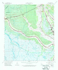
1964 Map of Gibson
USGS Topo · Published 1986About this map
Bayou Chacahoula and the Southern Pacific railroad corridor form the primary artery of settlement and industry across this portion of Terrebonne Parish in the mid-1960s. The landscape is a complex network of natural waterways and engineered extraction sites, where the Chacahoula Oil and Gas Field and Donner Oil Field dominate the upper reaches, giving way to the Intracoastal Waterway and various shell canals to the south. Small communities such as Gibson, Donner, and Chacahoula are established along these rail lines, while further east, the growing suburban footprint of Houma's outskirts is visible in developments like Highland Park and Oakshire Manor.
Find a feature on this map
76 named features on this map. Tap any name to fly to it.
Don’t see what you’re looking for? This feature index may not catch every label — zoom into the map to look around manually.
Map Details
Editions of this 1964 Gibson Map
3 editions found
Other maps of this area

1892 · Lac Des Allemands
USGS Topo · 1:62,500

1892 · Gibson
USGS Topo · 1:62,500

1892 · Houma
USGS Topo · 1:62,500

1892 · Thibodaux
USGS Topo · 1:62,500

1894 · Bayou De Large
USGS Topo · 1:62,500

1894 · Dulac
USGS Topo · 1:62,500

1897 · Gibson
USGS Topo · 1:62,500

1932 · Lake Decade
USGS Topo · 1:62,500

1932 · Lac Des Allemands SW
USGS Topo · 1:31,680

1932 · Houma SW
USGS Topo · 1:31,680