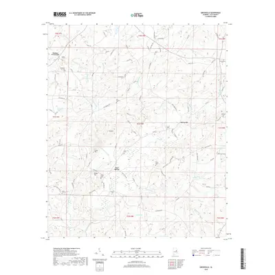
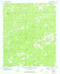
2018 Map of Gibsonville
USGS Topo · Published 2018About this map
Enitachopco Creek winds through this Clay County landscape, defining the topography around the communities of Bluff Springs and Gibsonville. The terrain is marked by several prominent heights, including Street Mtn, Bishop Mtn, and Jett Mtn, creating a series of valleys where early Alabama settlements and family farms took root. This rural landscape is densely populated with small country cemeteries, providing a detailed record of local genealogy through sites like Patterson Cem, Mount Carmel Cem, and Old Providence Cem. Small watercourses like Loombeam Cr and Kennedy Br feed into the larger creek systems, supporting the agricultural character of the area near Harkins Crossroads. The map reveals a network of local routes such as Saw Mill Rd and Dairy Barn Rd that speak to the timber and dairy industries central to the region's 21st-century rural economy.
Find a feature on this map
102 named features on this map. Tap any name to fly to it.
Don’t see what you’re looking for? This feature index may not catch every label — zoom into the map to look around manually.
Map Details
Editions of this 2018 Gibsonville Map
This is the sole edition of this map. No revisions or reprints were ever made.
Other maps of this area

1891 · Ashland
USGS Topo · 1:125,000

1953 · Atlanta
USGS Topo · 1:250,000

1957 · Atlanta
USGS Topo · 1:250,000

1958 · Atlanta
USGS Topo · 1:250,000

1969 · New Site
USGS Topo · 1:24,000
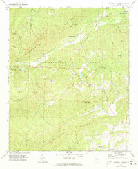
1969 · Clairmont Springs
USGS Topo · 1:24,000
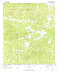
1969 · Millerville
USGS Topo · 1:24,000
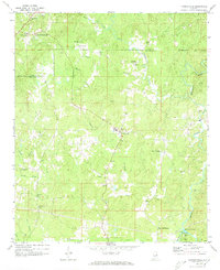
1969 · Hackneyville
USGS Topo · 1:24,000

1969 · Gibsonville
USGS Topo · 1:24,000
1969 · Daviston
USGS Topo · 1:24,000