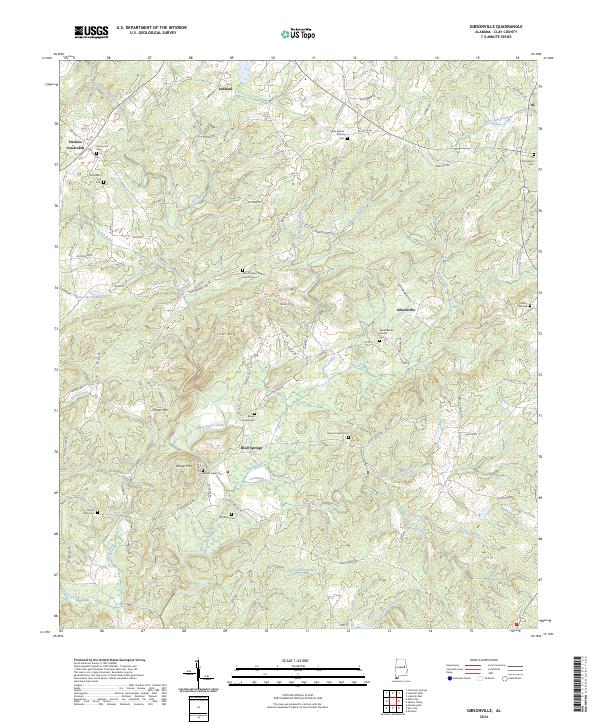
2024 Map of Gibsonville
USGS Topo · Published 2024About this map
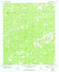
Enitachopco Creek and its many tributaries, including Shoal Creek and Loombeam Creek, carve through this section of Clay County, Alabama. Small communities like Bluff Springs and Gibsonville are centers of local history, while the rural character is defined by a dense concentration of family and church burial grounds. Notable sites for researchers include the Brown Family Cem and the twin Liberty Hill Cem and Old Liberty Hill Cem sites near Harkins Crossroads. The terrain is shaped by distinct rises such as Jett Mtn and Bishop Mtn, which overlook a network of winding local roads like Loombeam Loop and Maddox Loop. This survey documents a landscape where agricultural history and genealogy are deeply intertwined with the drainage patterns of the Tallapoosa River basin.
Find a feature on this map
104 named features on this map. Tap any name to fly to it.
Don’t see what you’re looking for? This feature index may not catch every label — zoom into the map to look around manually.
Map Details
Editions of this 2024 Gibsonville Map
This is the sole edition of this map. No revisions or reprints were ever made.
Other maps of this area

1891 · Ashland
USGS Topo · 1:125,000

1953 · Atlanta
USGS Topo · 1:250,000

1957 · Atlanta
USGS Topo · 1:250,000

1958 · Atlanta
USGS Topo · 1:250,000

1969 · New Site
USGS Topo · 1:24,000
1969 · Clairmont Springs
USGS Topo · 1:24,000
1969 · Millerville
USGS Topo · 1:24,000
1969 · Hackneyville
USGS Topo · 1:24,000

1969 · Gibsonville
USGS Topo · 1:24,000
1969 · Daviston
USGS Topo · 1:24,000