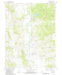
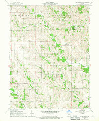
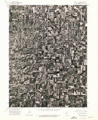
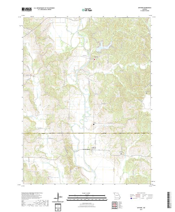
1979 Map of Gifford
USGS Topo · Published 1984About this map
The Chariton River meanders through this portion of Northern Missouri, where the landscapes of Adair and Macon counties meet. By the late 1970s, the area's industrial history is etched into the terrain, particularly in the northern reaches where Strip Mines are located adjacent to Sugar Creek State Forest. The map documents a rural society built around water and transport, featuring an Old Railroad Grade that parallels the river valley. Key community hubs like Gifford (South Gifford) and Yarrow serve as the primary settlements, while several country churches and burial grounds, including Mt Carmel Ch and Indian Hill Cem, provide essential data points for local genealogy. The presence of Spring Lake and various named creeks, such as Walnut Creek and Sugar Creek, highlights the reliance on natural drainage for the surrounding agricultural and mining lands.
Find a feature on this map
29 named features on this map. Tap any name to fly to it.
Don’t see what you’re looking for? This feature index may not catch every label — zoom into the map to look around manually.
Map Details
Editions of this 1979 Gifford Map
2 editions found
Historical Maps of South Gifford Through Time
29 maps found
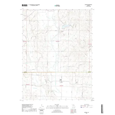
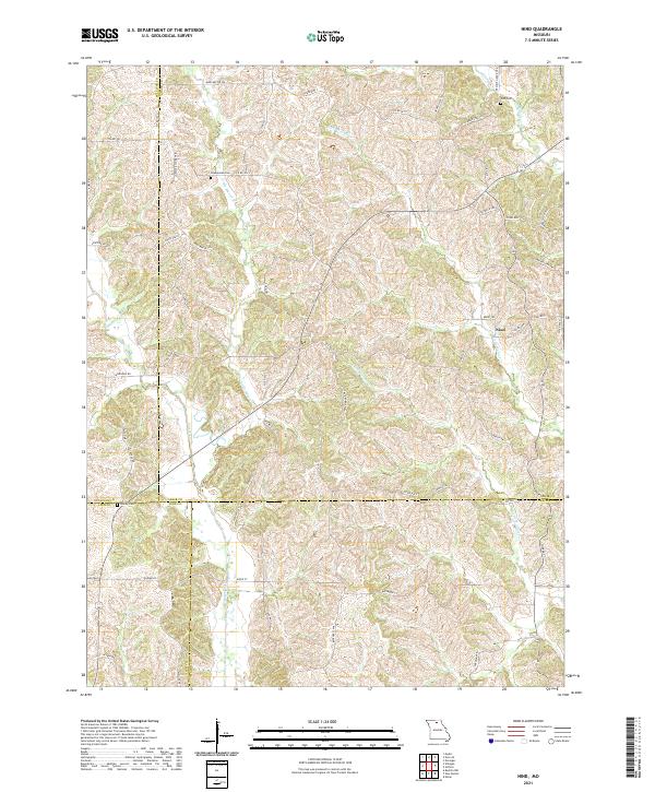
1963 Nind
Adair County, MO
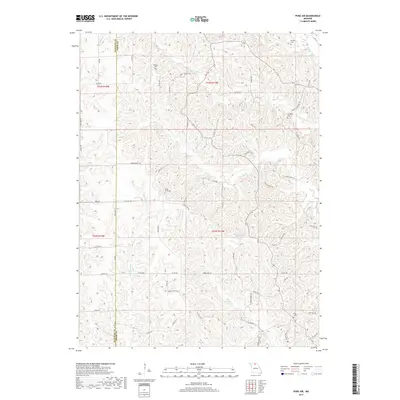
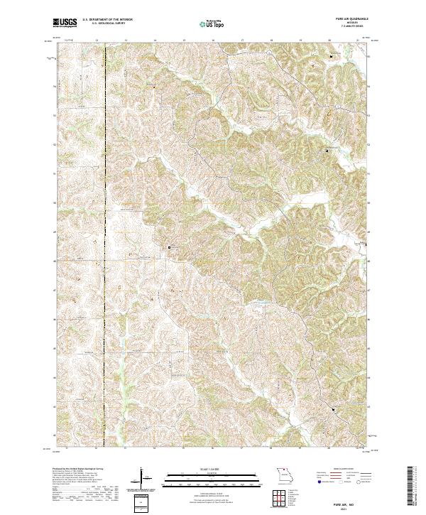
1963 Pure Air
Adair County, MO
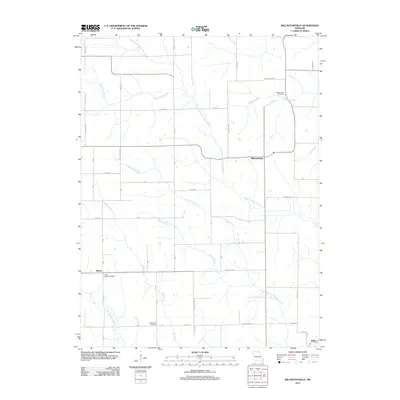
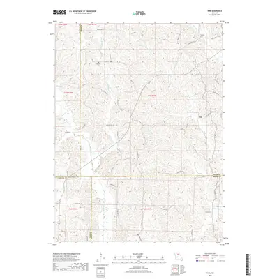
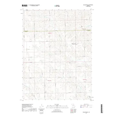
1966 Willmathsville
Adair County, MO
1974 Green City SE
Adair County, MO
1974 Kirksville NE
Adair County, MO
1974 Kirksville NW
Adair County, MO
1974 Queen City SE
Adair County, MO
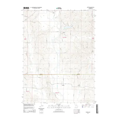
1979 Gifford
Adair County, MO
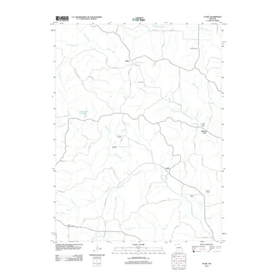
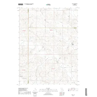
1979 Stahl
Adair County, MO
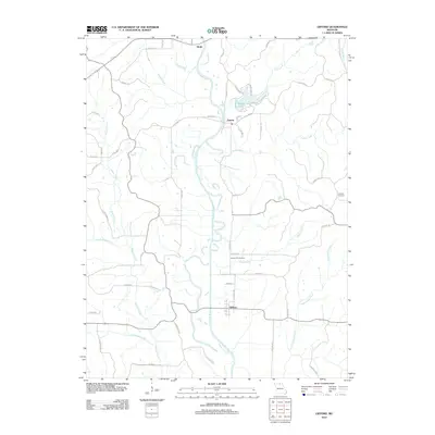
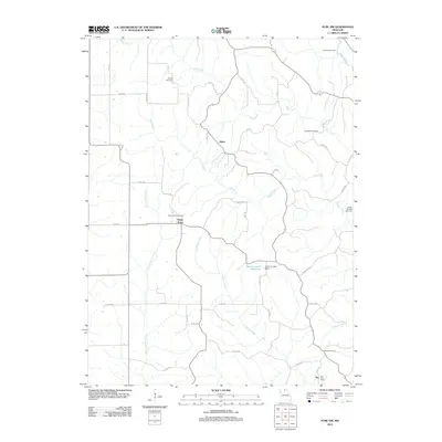
2012 Gifford
Adair County, MO
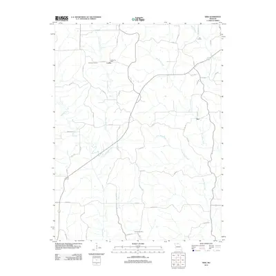
2012 Nind
Adair County, MO
2012 Pure Air
Adair County, MO
2012 Stahl
Adair County, MO
2012 Willmathsville
Adair County, MO
2015 Gifford
Adair County, MO
2015 Nind
Adair County, MO
2015 Pure Air
Adair County, MO
2015 Stahl
Adair County, MO
2015 Willmathsville
Adair County, MO
2017 Gifford
Adair County, MO
2017 Nind
Adair County, MO
2017 Pure Air
Adair County, MO
2017 Stahl
Adair County, MO
2017 Willmathsville
Adair County, MO
2021 Gifford
Adair County, MO
2021 Nind
Adair County, MO
2021 Pure Air
Adair County, MO
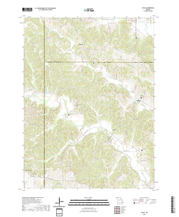
2021 Stahl
Adair County, MO
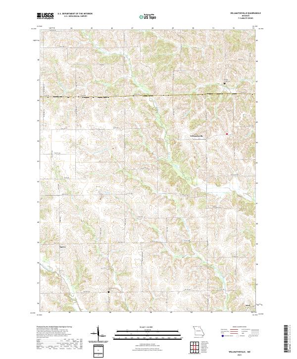
2021 Willmathsville
Adair County, MO