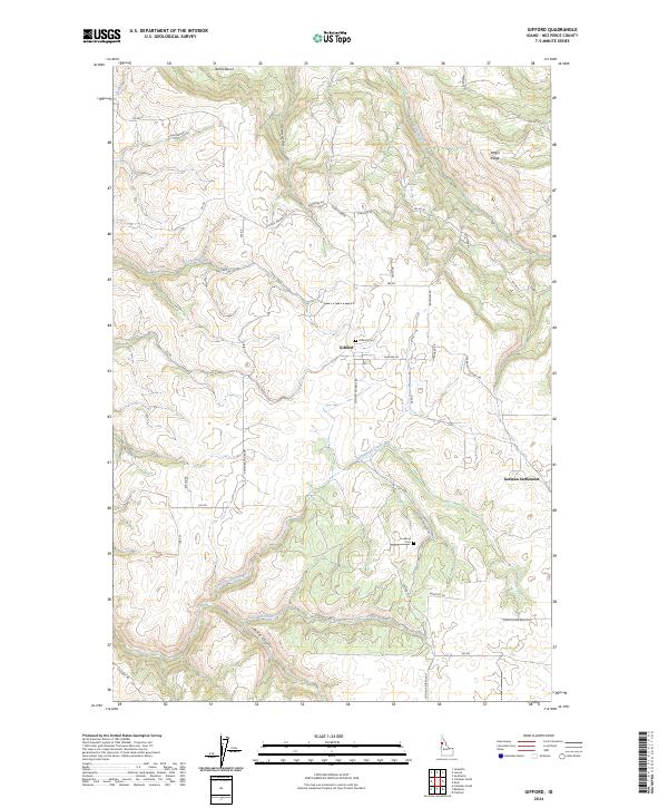
2024 Map of Gifford
USGS Topo · Published 2024About this map
Gifford sits atop the high plateau of Nez Perce County, where the landscape is defined by deep drainages like Rattlesnake Canyon and Pickle Canyon that carve through the agricultural tablelands. This region of Idaho shows a legacy of settlement patterns tied to the land and ethnic heritage, most notably at German Settlement in the southeastern portion of the map. The road network, including names like German Settlement Rd and Chas Rosenkrantz Rd, points to the family-led development of these rural uplands. For genealogists, the map locates important local landmarks such as Gifford Cem and Lookout Cem. Moving toward the northern edges, the terrain shifts significantly as the elevation drops toward Maggie Creek and Licks Creek, punctuated by prominent features like Amos Bench and Angel Ridge.
Find a feature on this map
48 named features on this map. Tap any name to fly to it.
Don’t see what you’re looking for? This feature index may not catch every label — zoom into the map to look around manually.
Map Details
Editions of this 2024 Gifford Map
This is the sole edition of this map. No revisions or reprints were ever made.
Other maps of this area

1924 · Kamiah
USGS Topo · 1:125,000

1955 · Pullman
USGS Topo · 1:250,000

1958 · Pullman
USGS Topo · 1:250,000

1958 · Culdesac
USGS Topo · 1:62,500

1961 · Kendrick
USGS Topo · 1:62,500

1961 · Ahsahka
USGS Topo · 1:62,500

1967 · Fletcher
USGS Topo · 1:24,000

1967 · Peck
USGS Topo · 1:24,000

1981 · Orofino
USGS Topo · 1:100,000

1981 · Potlatch
USGS Topo · 1:100,000