
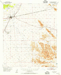
1951 Map of Gila Bend
USGS Topo · Published 1951About this map
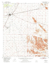
Gila Bend serves as the central hub of this desert landscape, situated at the junction of the Southern Pacific and the Tucson and Cornelia railroads. The town’s role as a transportation and agricultural crossroads is evident from the surrounding Canal system drawing from the Gila River and the presence of aviation facilities like Hunts Airport (Private) and a Radio Range Station.
Find a feature on this map
29 named features on this map. Tap any name to fly to it.
Don’t see what you’re looking for? This feature index may not catch every label — zoom into the map to look around manually.
Map Details
Editions of this 1951 Gila Bend Map
3 editions found
Other maps of this area

1950 · Theba
USGS Topo · 1:62,500

1951 · Estrella
USGS Topo · 1:62,500

1951 · Theba
USGS Topo · 1:62,500

1951 · Mobile
USGS Topo · 1:62,500

1951 · Cotton Center
USGS Topo · 1:62,500

1951 · Woolsey Peak
USGS Topo · 1:62,500

1953 · Ajo
USGS Topo · 1:250,000

1954 · Phoenix
USGS Topo · 1:250,000

1957 · Ajo
USGS Topo · 1:250,000

1957 · Phoenix
USGS Topo · 1:250,000