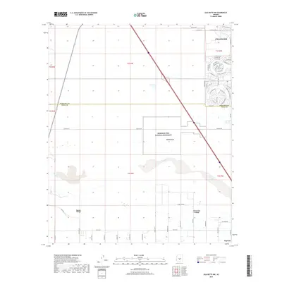
2018 Map of Gila Butte NW
USGS Topo · Published 2018About this map
The Gila River corridor south of Chandler serves as the central geographic feature of this 2018 survey, highlighting the intersection of desert landscape and modern suburban expansion. The map spans the border of Maricopa and Pinal counties, where the residential developments of Sun Lakes give way to the protected grounds of the Hohokam Pima National Monument. This area preserves the significant archaeological site of Snaketown, representing a complex ancestral history within the Gila River Indian Community.
Find a feature on this map
63 named features on this map. Tap any name to fly to it.
Don’t see what you’re looking for? This feature index may not catch every label — zoom into the map to look around manually.
Map Details
Editions of this 2018 Gila Butte NW Map
This is the sole edition of this map. No revisions or reprints were ever made.
Other maps of this area

1912 · Phoenix
USGS Topo · 1:62,500

1913 · Mesa
USGS Topo · 1:62,500

1913 · Maricopa
USGS Topo · 1:62,500

1914 · Gila Butte
USGS Topo · 1:62,500

1914 · Phoenix
USGS Topo · 1:62,500

1915 · Mesa
USGS Topo · 1:62,500

1915 · Maricopa
USGS Topo · 1:62,500

1917 · Gila Butte
USGS Topo · 1:62,500

1952 · Gila Butte SE
USGS Topo · 1:24,000

1952 · Maricopa
USGS Topo · 1:24,000