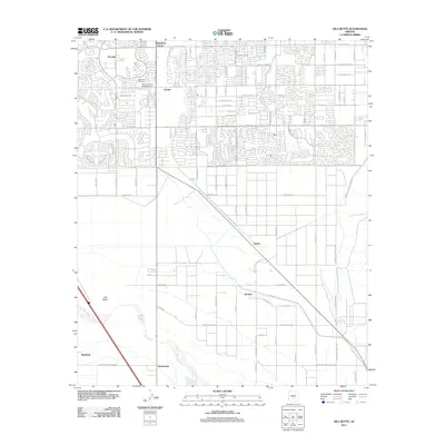
2011 Map of Gila Butte
USGS Topo · Published 2011About this map
The Gila River defines the southern portion of this landscape, separating the developing residential blocks of Chandler from the tribal lands to the south. In the early 21st century, the northern half of the map shows a rapidly expanding grid of suburban streets and neighborhoods such as Ocotillo and Serape, while the south retains its rural and traditional character. Landmarks like the Goodyear Cemetery and Valley of the Sun Memorial Park sit near the transition between these two worlds.
Find a feature on this map
85 named features on this map. Tap any name to fly to it.
Don’t see what you’re looking for? This feature index may not catch every label — zoom into the map to look around manually.
Map Details
Editions of this 2011 Gila Butte Map
This is the sole edition of this map. No revisions or reprints were ever made.
Other maps of this area

1904 · Desert Well
USGS Topo · 1:62,500

1906 · Desert Well
USGS Topo · 1:62,500

1907 · Sacaton
USGS Topo · 1:62,500

1913 · Mesa
USGS Topo · 1:62,500

1914 · Gila Butte
USGS Topo · 1:62,500

1915 · Mesa
USGS Topo · 1:62,500

1917 · Gila Butte
USGS Topo · 1:62,500

1952 · Gila Butte SE
USGS Topo · 1:24,000

1952 · Chandler
USGS Topo · 1:24,000

1952 · Sacaton Butte
USGS Topo · 1:24,000