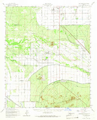
1952 Map of Gila Butte
USGS Topo · Published 1966About this map
The Gila River defines the central landscape of this territory, where irrigation systems like the Casa Blanca Canal and South Side Canal trace the intersection of indigenous lands and early 20th-century agriculture. Most of the survey covers the Gila River Indian Reservation, showcasing established communities such as Bapchule and Sweetwater. The map provides significant detail for local historians and genealogists, specifically noting institutional landmarks like the St Peters Mission Sch and the Santan Day Sch.
Find a feature on this map
35 named features on this map. Tap any name to fly to it.
Don’t see what you’re looking for? This feature index may not catch every label — zoom into the map to look around manually.
Map Details
Editions of this 1952 Gila Butte Map
2 editions found

Other maps of this area

1904 · Desert Well
USGS Topo · 1:62,500

1906 · Desert Well
USGS Topo · 1:62,500

1907 · Sacaton
USGS Topo · 1:62,500

1912 · Phoenix
USGS Topo · 1:62,500

1913 · Mesa
USGS Topo · 1:62,500

1913 · Maricopa
USGS Topo · 1:62,500

1914 · Gila Butte
USGS Topo · 1:62,500

1914 · Phoenix
USGS Topo · 1:62,500

1915 · Mesa
USGS Topo · 1:62,500

1915 · Maricopa
USGS Topo · 1:62,500