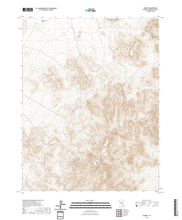
2021 Map of Gilbert
USGS Topo · Published 2021About this map
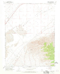
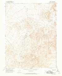
Monte Cristo Range topography dominates this 2021 survey of the high desert of Esmeralda County. The landscape is defined by the sharp transition from the broad, high-elevation floor of the Monte Cristo Valley into the deeply weathered peaks of the range. While many modern maps of this region emphasize roads or development, this sheet preserves the isolation of the basin and range province, showing almost no human footprints aside from the section lines of the Public Land Survey System. A rare water source, Cook Spring, is marked at the base of the mountains, representing a critical waypoint in an otherwise arid environment. This map is a record of the raw land as it remains today, showing the natural drainage patterns and elevation contours that have dictated movement through this part of Nevada for centuries.
Find a feature on this map
12 named features on this map. Tap any name to fly to it.
Don’t see what you’re looking for? This feature index may not catch every label — zoom into the map to look around manually.
Map Details
Editions of this 2021 Gilbert Map
This is the sole edition of this map. No revisions or reprints were ever made.
Other maps of this area

1907 · Tonopah
USGS Topo · 1:250,000

1908 · Tonopah
USGS Topo · 1:250,000

1956 · Tonopah
USGS Topo · 1:250,000

1959 · Tonopah
USGS Topo · 1:250,000

1962 · Tonopah
USGS Topo · 1:250,000
1968 · Crow Springs
USGS Topo · 1:24,000
1968 · Coaldale NE
USGS Topo · 1:24,000
1968 · Blair Junction
USGS Topo · 1:24,000
1968 · Gilbert SE
USGS Topo · 1:24,000
1968 · Gilbert
USGS Topo · 1:24,000