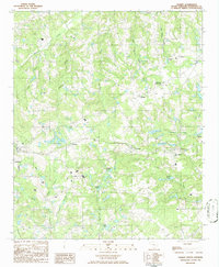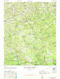
1944 Map of Gilbert
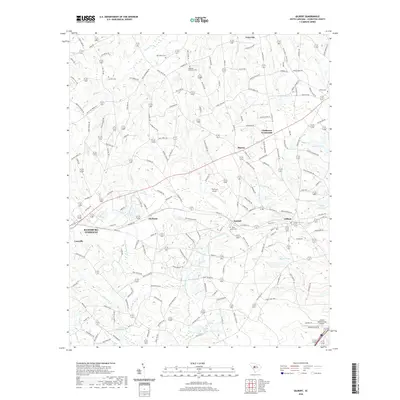
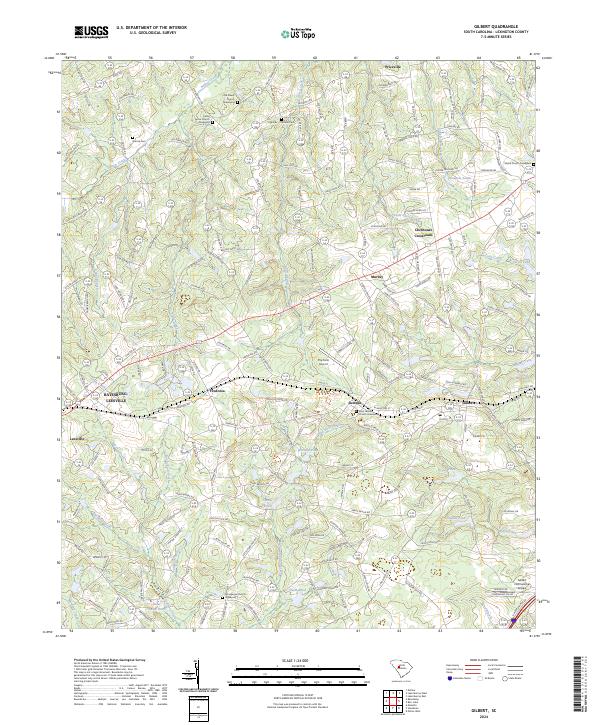
USGS Topo · Published 1968About this map
The rural agricultural and millwork landscape of central South Carolina is anchored by the Southern Railway corridor, which links the towns of Summit, Gilbert, and Leesville. This mid-century environment is defined by an intricate network of localized ponds and milling sites, such as the Saxe-Gotha Millpond and Bouknight Pond, which highlight the importance of water management in the local economy. The social fabric of the area is mapped through a dense concentration of community institutions, including Spring Hill Church and numerous rural educational sites like Tabernacle School and Boiling Springs School. To the north, the terrain transitions toward the southern edge of Lake Murray, where the Lake Murray Fire Tower stands as a sentinel over the developing shoreline. The surveyor's data captures the transition from traditional millponds to a more interconnected regional infrastructure as the mid-1940s progressed.
Find a feature on this map
112 named features on this map. Tap any name to fly to it.
Don’t see what you’re looking for? This feature index may not catch every label — zoom into the map to look around manually.
Map Details
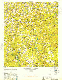
Editions of this 1944 Gilbert Map
2 editions found
Historical Maps of Lexington Through Time
7 maps found