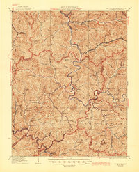
1927 Map of Gilbert
USGS Topo · Published 1945About this map
The Guyandot River winds through the heart of this Appalachian landscape, serving as the primary corridor for settlements and industry in the late 1920s. Along its banks, the Chesapeake and Ohio River railroad facilitates the movement of resources through towns like Gilbert, Man, and Tamcliff. Further south, the Norfolk and Western line anchors the economy for communities including Wharncliffe and War Eagle. The density of localized education is striking, with numerous family-named and geography-specific schools such as Craig Hatfield School, Jim Hatfield School, and Mudlick School serving isolated hollows. This network of small schoolhouses and creek-side settlements like Beech Creek and Horsepen illustrates the decentralized but deeply rooted social structure of the Mingo and Logan County borderlands before modern highway expansion and school consolidation reshaped the rural geography.
Find a feature on this map
98 named features on this map. Tap any name to fly to it.
Don’t see what you’re looking for? This feature index may not catch every label — zoom into the map to look around manually.
Map Details
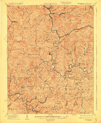
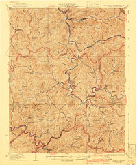
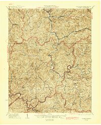
Editions of this 1927 Gilbert Map
4 editions found
Other maps of this area

1886 · Grundy
USGS Topo · 1:125,000

1887 · Warfield
USGS Topo · 1:125,000

1890 · Grundy
USGS Topo · 1:125,000

1891 · Tazewell
USGS Topo · 1:125,000

1891 · Oceana
USGS Topo · 1:125,000

1891 · Warfield
USGS Topo · 1:125,000

1892 · Grundy
USGS Topo · 1:125,000

1893 · Oceana
USGS Topo · 1:125,000

1895 · Tazewell
USGS Topo · 1:125,000

1897 · Tazewell
USGS Topo · 1:125,000