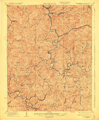
1927 Map of Gilbert
USGS Topo · Published 1927About this map
The Guyandot and Tug River RR and the Norfolk and Western Railway follow the winding river valleys in this 1920s survey of southern West Virginia. This rugged section of the Cumberland Plateau is defined by the sharp divides between the Guyandot River and the Tug Fork, where industrial transit and small settlements were squeezed into the narrow hollows. At the center of the sheet, the village of Gilbert and neighboring West Gilbert serve as hubs for the surrounding coal and timber country.
Find a feature on this map
146 named features on this map. Tap any name to fly to it.
Don’t see what you’re looking for? This feature index may not catch every label — zoom into the map to look around manually.
Map Details
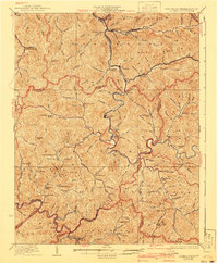
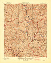
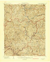
Editions of this 1927 Gilbert Map
4 editions found
Other maps of this area

1886 · Grundy
USGS Topo · 1:125,000

1887 · Warfield
USGS Topo · 1:125,000

1890 · Grundy
USGS Topo · 1:125,000

1891 · Tazewell
USGS Topo · 1:125,000

1891 · Oceana
USGS Topo · 1:125,000

1891 · Warfield
USGS Topo · 1:125,000

1892 · Grundy
USGS Topo · 1:125,000

1893 · Oceana
USGS Topo · 1:125,000

1895 · Tazewell
USGS Topo · 1:125,000

1897 · Tazewell
USGS Topo · 1:125,000