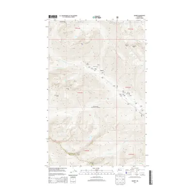
2014 Map of Gilbert
USGS Topo · Published 2014About this map
Gilbert sits at the confluence of several glacial drainages within the Okanogan National Forest, serving as a central point for high-elevation access in the North Cascades. The topography is defined by dramatic ridgelines and peaks, including Abernathy Peak, Gilbert Mtn, and the sharp crest of Kangaroo Ridge. The hydrography of the region is equally complex, with the Twisp River being fed by the N Fork and S Fork, alongside numerous alpine basins containing Louis Lake, Scatter Lake, and Abernathy Lake. This 2014 survey captures the area's infrastructure for backcountry access, including the Gilbert Trailhead and South Creek Campground. The southern portion of the map traces the high boundary between Okanogan and Chelan counties, crossing near Rennie Peak and Reynolds Peak, illustrating the Divide's role in defining political and natural borders.
Find a feature on this map
41 named features on this map. Tap any name to fly to it.
Don’t see what you’re looking for? This feature index may not catch every label — zoom into the map to look around manually.
Map Details
Editions of this 2014 Gilbert Map
This is the sole edition of this map. No revisions or reprints were ever made.
Other maps of this area

1899 · Methow
USGS Topo · 1:125,000

1901 · Methow
USGS Topo · 1:125,000

1902 · Stehekin
USGS Topo · 1:125,000

1904 · Stehekin
USGS Topo · 1:125,000

1920 · Slate Pass
USGS Topo · 1:125,000

1955 · Concrete
USGS Topo · 1:250,000

1958 · Concrete
USGS Topo · 1:250,000

1962 · Concrete
USGS Topo · 1:250,000

1962 · Mazama
USGS Topo · 1:62,500

1963 · Washington Pass
USGS Topo · 1:24,000