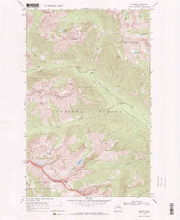
1969 Map of Gilbert
USGS Topo · Published 1972About this map
Gilbert sits at the junction of the mountain trails and the North Fork Twisp River, serving as a remote outpost in the high Cascades during the late 1960s. This survey, grounded in 1968 aerial photography and 1969 field checks, documents a landscape defined by mining history and high-altitude wilderness. The Crescent Mine and various Mines and Prospects scattered across the slopes of Gilbert Mtn and Abernathy Peak point to the area's mineral exploration legacy.
Find a feature on this map
36 named features on this map. Tap any name to fly to it.
Don’t see what you’re looking for? This feature index may not catch every label — zoom into the map to look around manually.
Map Details
Editions of this 1969 Gilbert Map
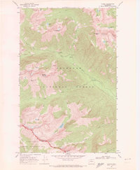
2 editions found
Other maps of this area

1899 · Methow
USGS Topo · 1:125,000

1901 · Methow
USGS Topo · 1:125,000

1902 · Stehekin
USGS Topo · 1:125,000

1904 · Stehekin
USGS Topo · 1:125,000

1920 · Slate Pass
USGS Topo · 1:125,000

1955 · Concrete
USGS Topo · 1:250,000

1958 · Concrete
USGS Topo · 1:250,000

1962 · Concrete
USGS Topo · 1:250,000

1962 · Mazama
USGS Topo · 1:62,500

1963 · Washington Pass
USGS Topo · 1:24,000